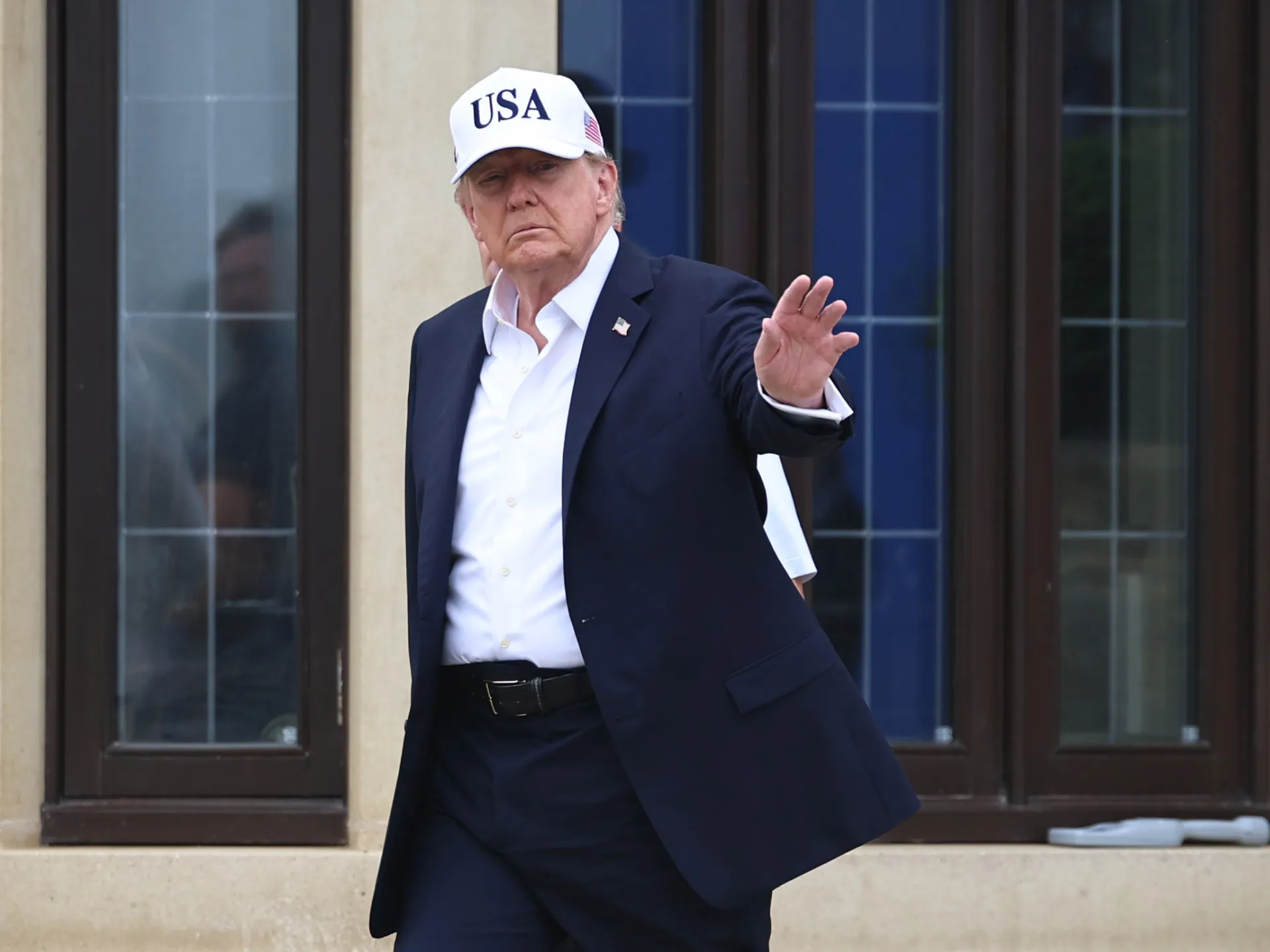

A recent social media post from the U.S. President featuring a modified map of the Great Lakes has sparked international discussion amid failing trade talks.
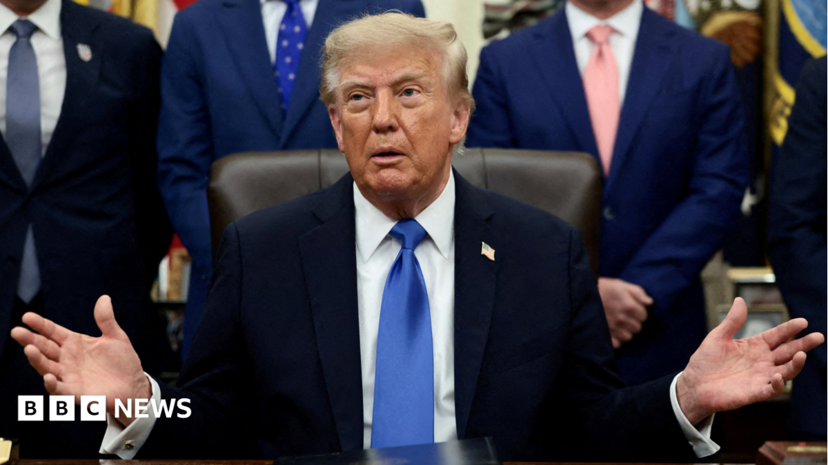
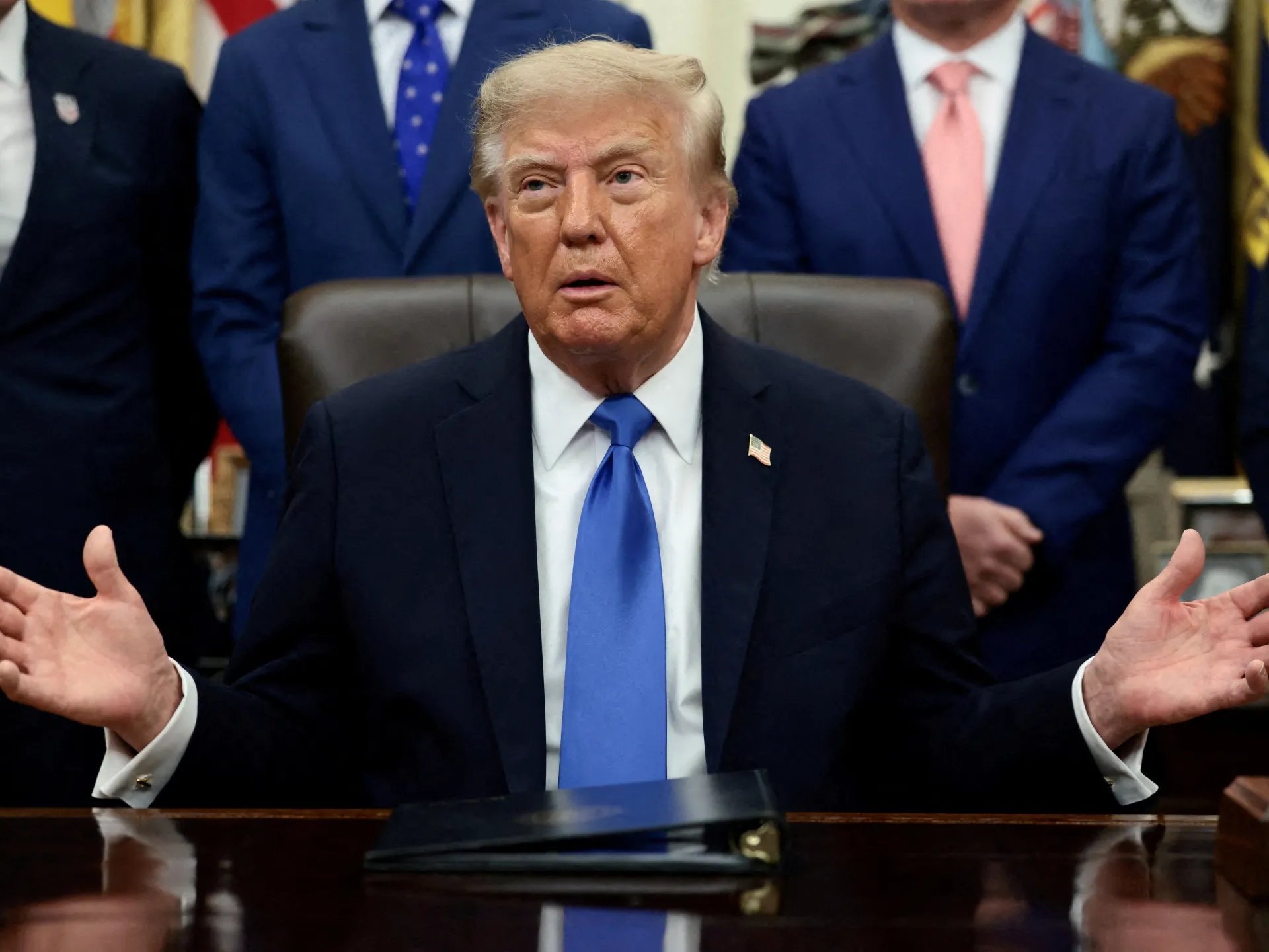
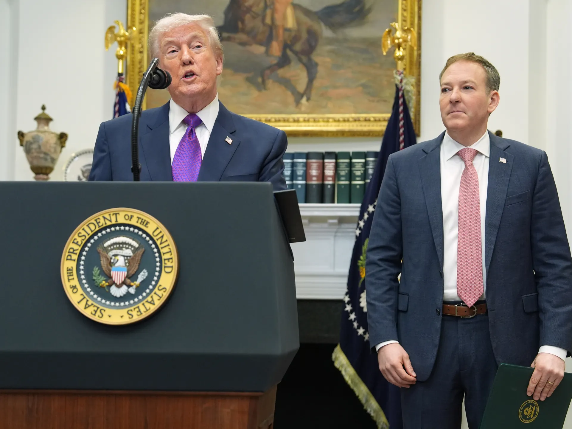
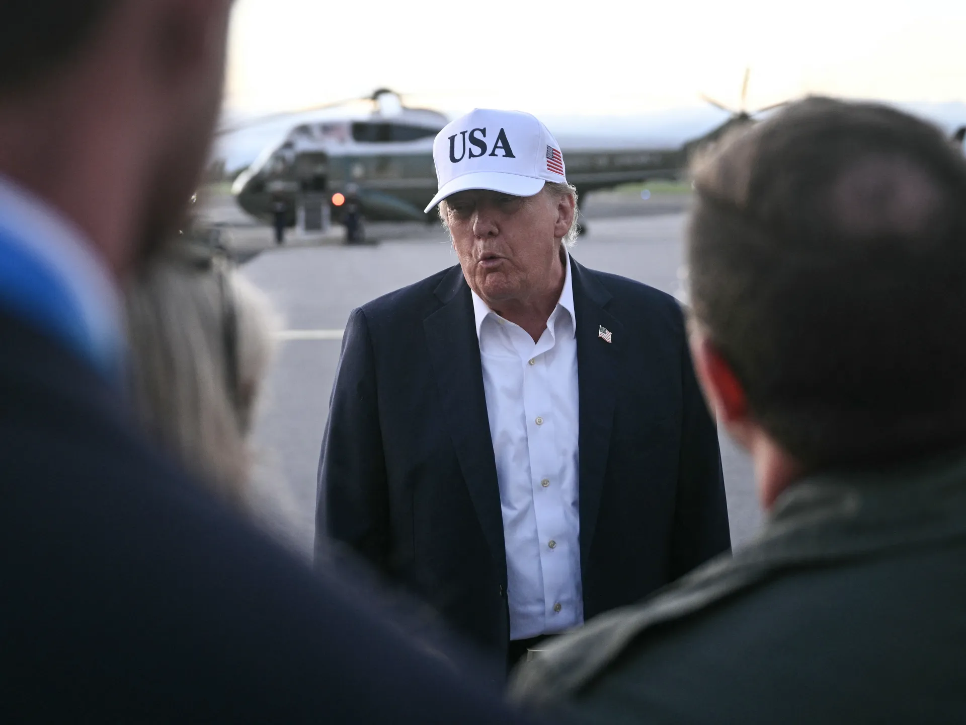
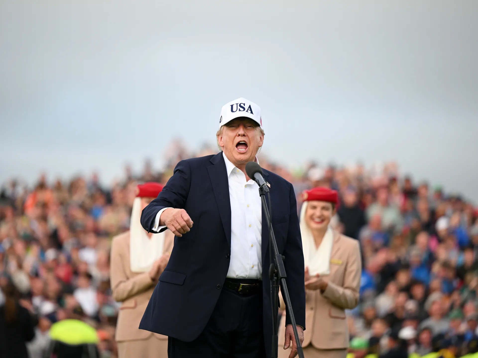
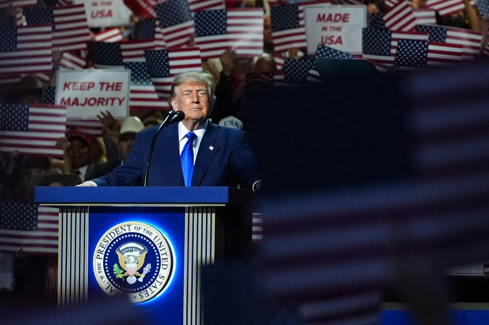
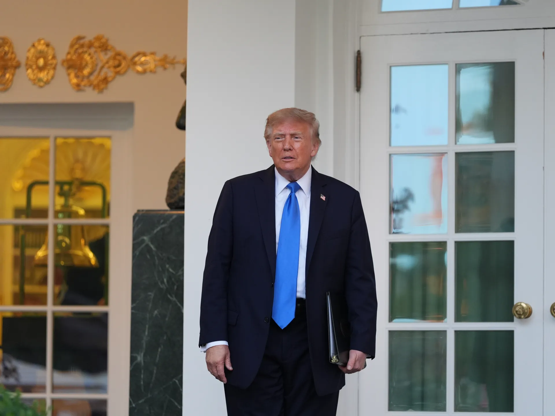
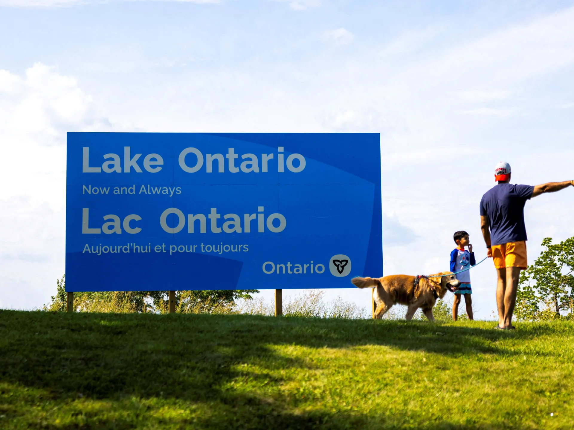
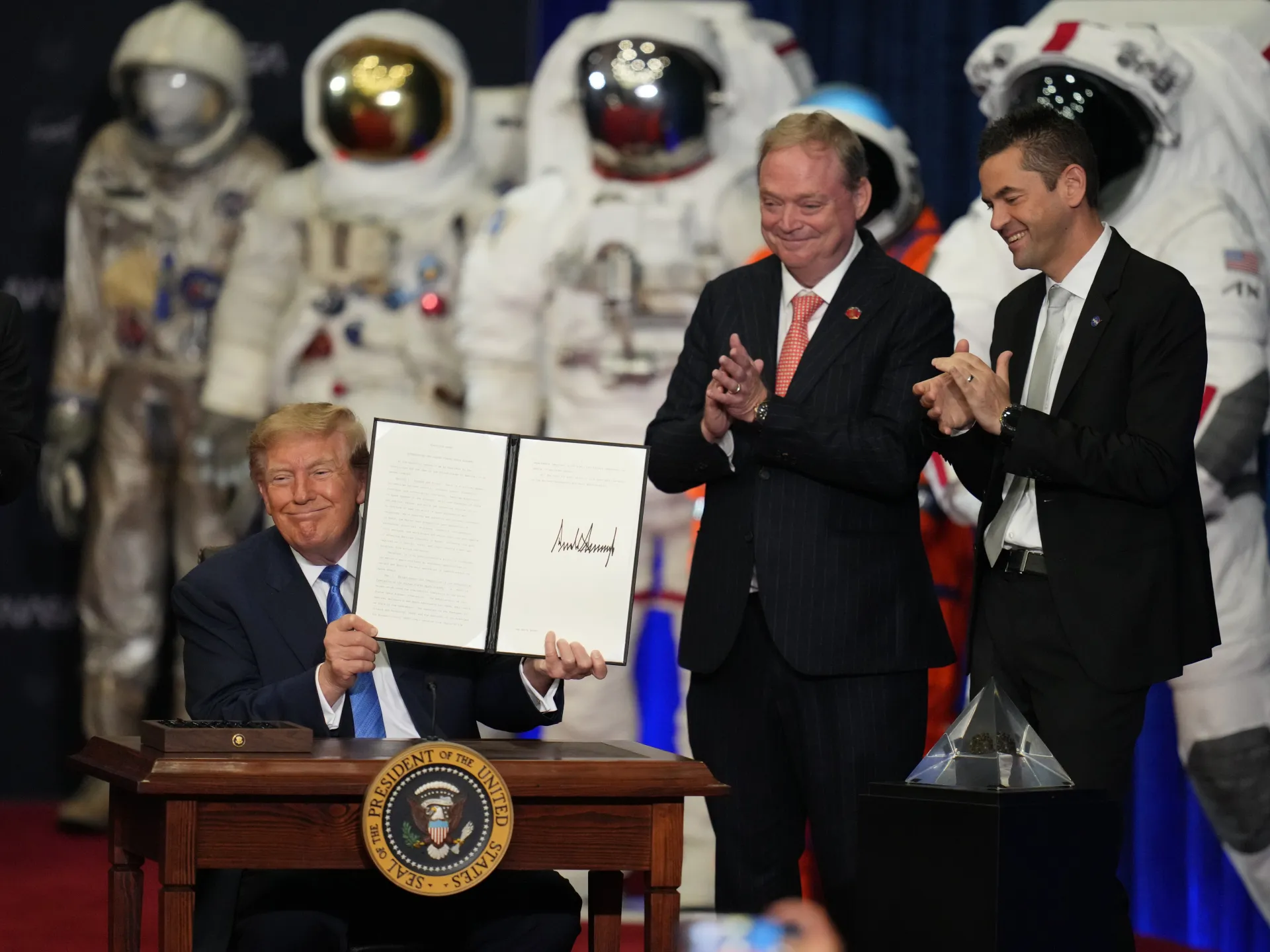
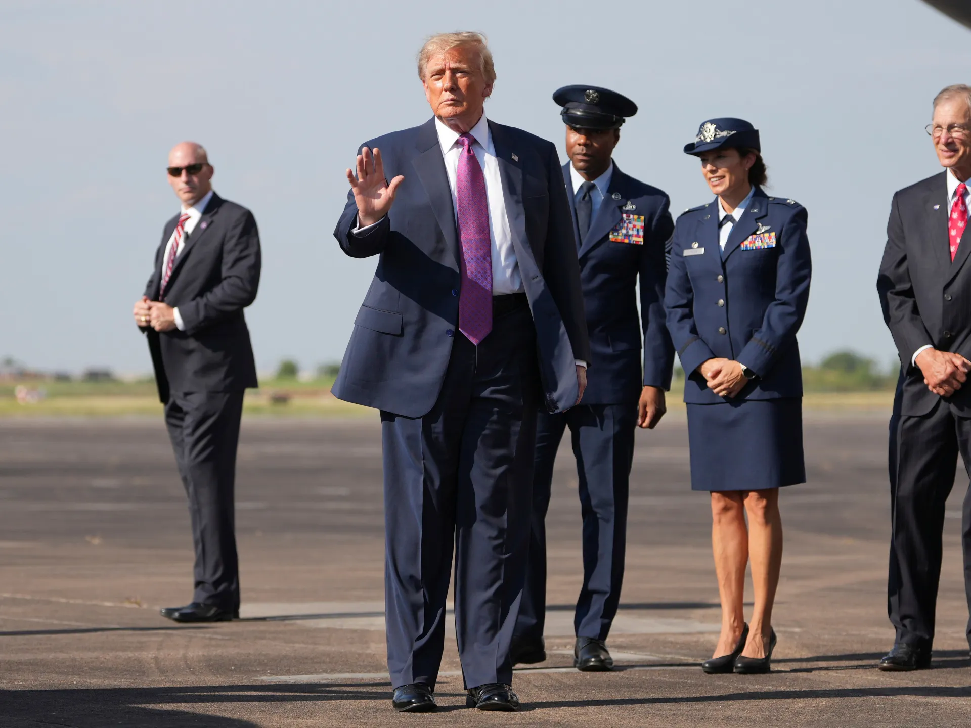
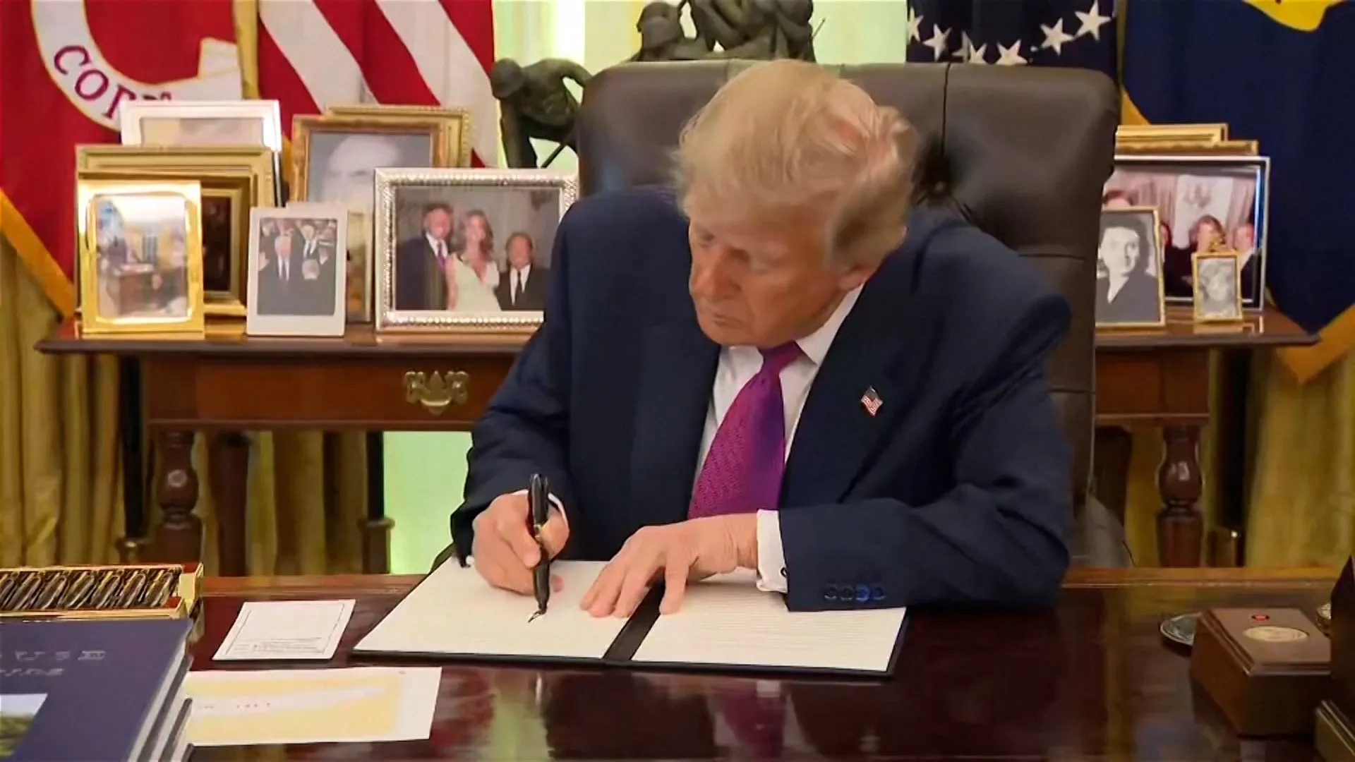
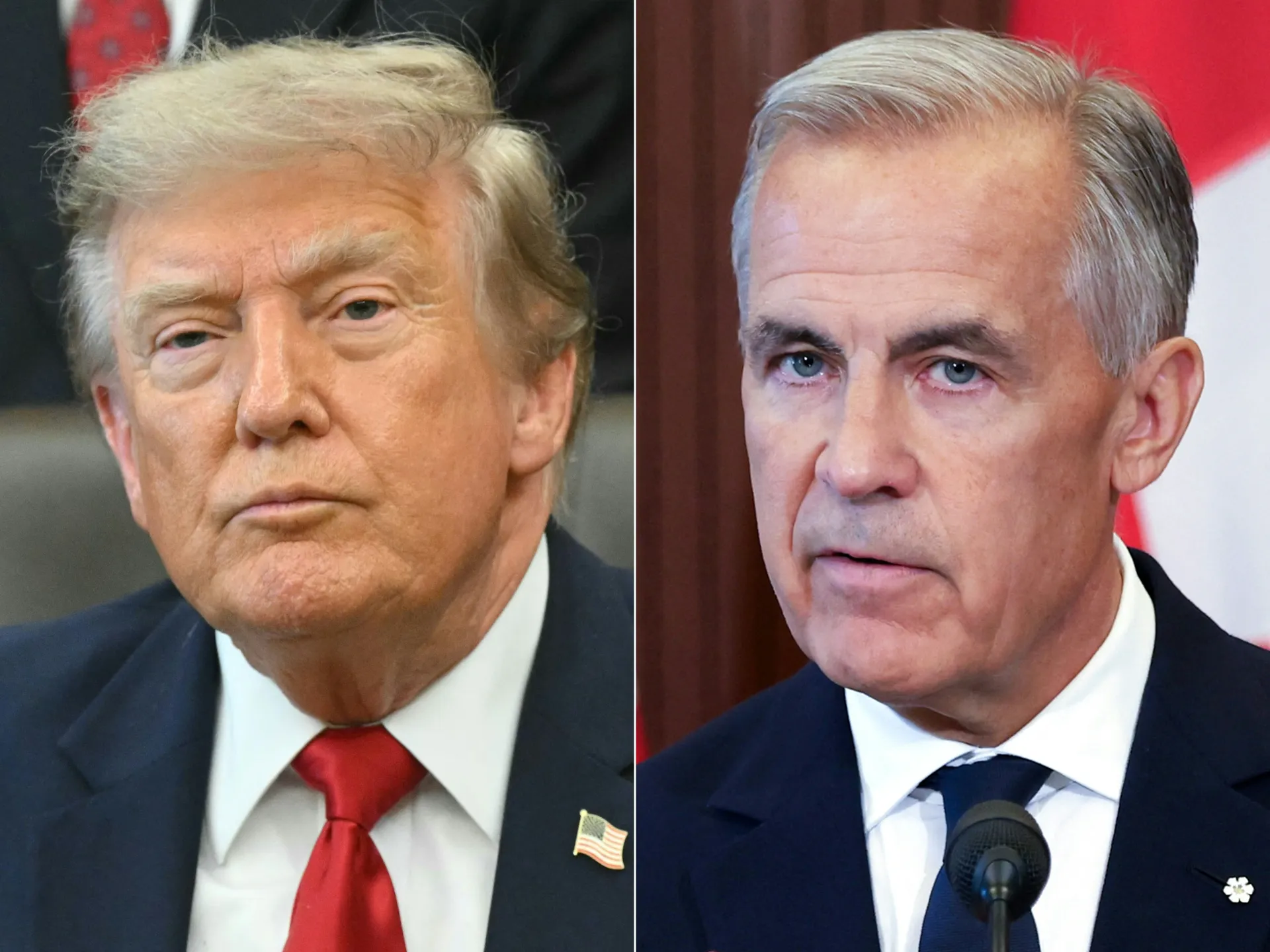
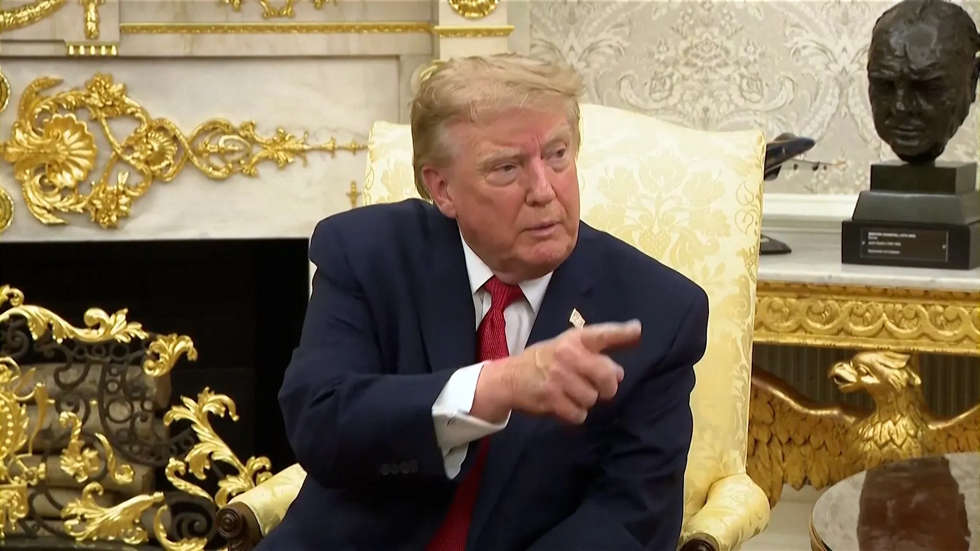
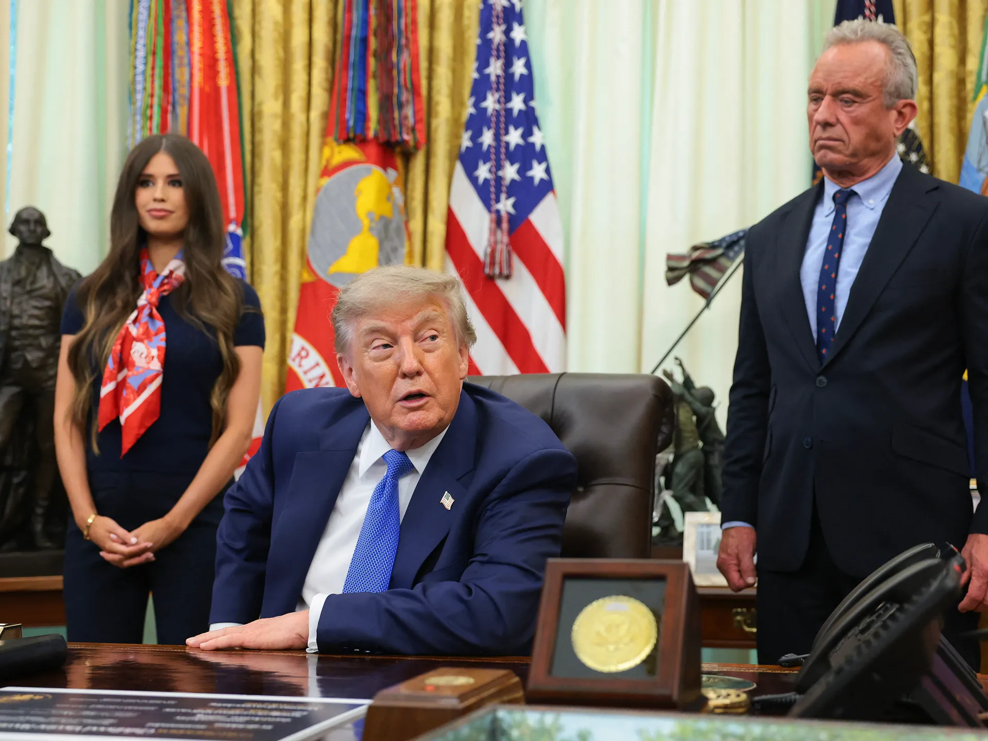
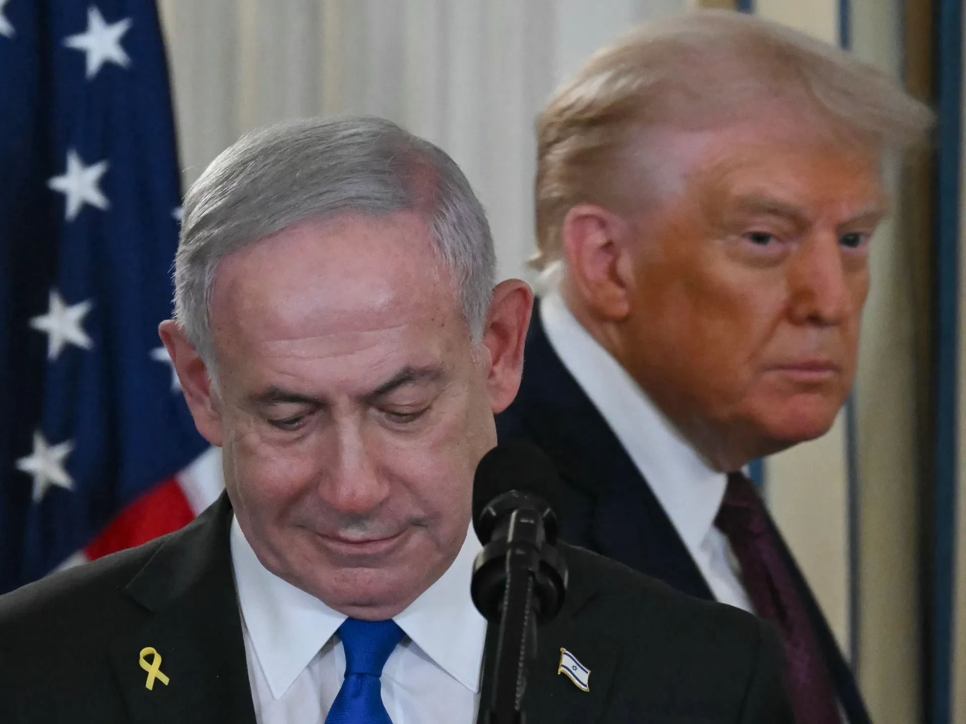
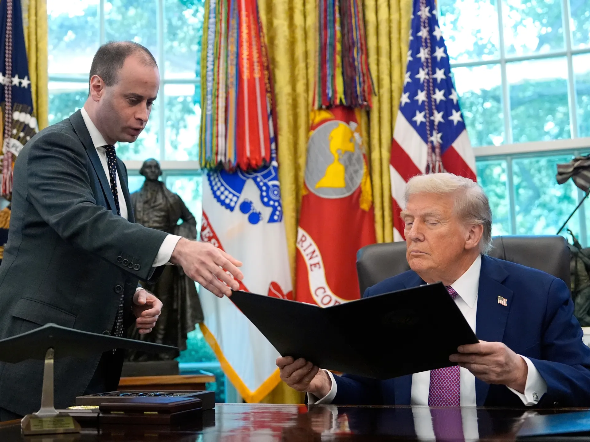
The geopolitical landscape of North America faced an unusual development this week when United States President Donald Trump shared a visual demonstration targeting a major shared resource. In a digital post, the President was recorded physically marking up a map of the Great Lakes region, specifically crossing out the name Lake Ontario. In its place, he inscribed the designation 'Lake America,' a move that has quickly garnered international attention and scrutiny from diplomatic observers.
This public act, while seemingly informal, carries significant weight given the current state of bilateral affairs. the United States and Canada, the administration has signaled a departure from traditional diplomatic decorum. The choice of terminology is being interpreted n territorial influence over shared geographical landmarks.
The timing of this incident is far from coincidental, arriving amidst a period of profound frustration regarding ongoing trade negotiations between Washington and Ottawa. Recent efforts to reach a mutually beneficial agreement have reportedly stalled, leading to an escalation in rhetoric from the White House. The decision to target a geographical feature named after a Canadian province appears to be a direct manifestation of these broader economic grievances.
Trade disputes often involve complex negotiations over tariffs, supply chains, and market access, but the introduction of symbolic map-altering rhetoric adds a layer of hostility that complicates formal dialogue. When economic discussions reach an impasse, such gestures are frequently employed to rally domestic support ests that the administration is prepared to utilize unconventional methods to apply pressure on the Canadian government.
Lake Ontario serves as a vital artery for shipping, commerce, and environmental management for both the United States and Canada. The Great Lakes basin is governed peration and mutual recognition of sovereignty. the established framework that ensures the stability of the North American border.
Regional experts have expressed concern that such rhetoric could have a chilling effect on local cooperation. Efforts to manage water quality, commercial fishing, and maritime security require seamless coordination between the two nations. When political leadership adopts a stance that challenges the legitimacy of shared geographic identifiers, it introduces uncertainty into operational relationships that have historically remained insulated from the volatile nature of federal political shifts.
The reaction to the President's map modification has been swift, with social media discourse reflecting a polarized perspective on the necessity and appropriateness of such actions. Supporters of the administration often view these maneuvers as a bold assertion of national interests, while critics argue that the behavior is counterproductive to maintaining stable international alliances. The incident has reignited debates regarding the role of digital communication in modern statecraft.
As the international community watches these developments unfold, the focus remains on whether these symbolic gestures will evolve into substantive policy changes. If trade talks continue to fail, the administration may be tempted to increase the frequency of such provocative displays. For now, diplomats and regional stakeholders are left to navigate the cooling relationship between these two long-standing allies, hoping that the map-based posturing does not lead to a long-term degradation of the essential partnership that defines the North American continent.