
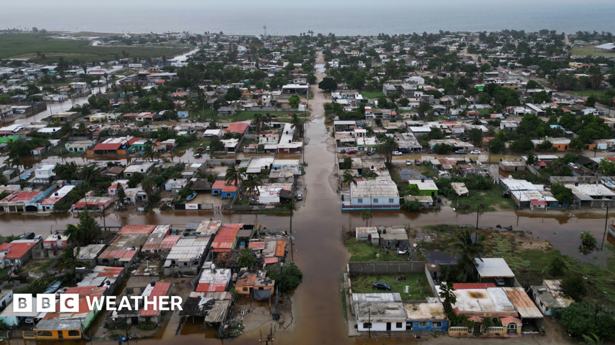
New ocean data shows unprecedented heat levels in the Pacific, challenging previous records as scientists study the impact of current weather patterns.
Why this matters
Scientists monitor the Pacific Ocean for signs of a warming pattern called El Niño. This event releases massive amounts of heat into the atmosphere. It impacts global weather and raises average temperatures worldwide.
Also, current ocean temperatures have reached new, unseen levels this year. These numbers break records set during previous, strong climate events. The warmth now spreads far beyond the tropical areas researchers usually study.
Next, human-induced climate change adds extra heat to our oceans. This change makes it harder for experts to measure the natural cycle of El Niño. Scientists now use new tools to remove this extra warming signal from their data.
New records in the Pacific
Meanwhile, Australian forecasters report that weekly sea-surface temperatures hit a record high. The heat exceeds the levels measured during the powerful 2015 event. Experts call this current cycle unprecedented in modern history.
Also, temperatures in parts of the tropical Pacific recently crossed 30 degrees Celsius. This is the first time researchers have observed such extreme heat in those specific zones. Deep ocean water also shows exceptional warmth this season.
However, the heat does not stay in the tropics alone. It spills into the Gulf of Mexico and other regions. This widespread warmth marks a major change from past events like those in 1997 or 2015.
Understanding the trends
After that, researchers looked for links between these events and climate change. The World Meteorological Organization says proof remains unclear. They state no evidence shows climate change makes El Niño events happen more often.
Still, the connection remains an active area of study for many scientists. We know that these events release vast amounts of stored ocean heat. This heat often leads to higher global temperatures across the planet.
Finally, global forecasters continue to track these changes closely. They hope to understand how natural cycles and human impact interact. Accurate data helps the world prepare for potential shifts in weather and climate.
How we got here
- 2015: A very strong El Niño event sets previous records for sea-surface temperatures.
- September 2026: Scientists declare a new record for daily sea-surface temperatures in the Pacific.
- September 2026: Australian officials report weekly average temperatures exceeding the 2015 peak.
- October 2026: Experts confirm the heat has spread into the Gulf of Mexico.
What happens next
Now, scientists expect the current El Niño to reach its peak in December. They will watch how the ocean heat changes as the year ends. New data will help them refine their climate models.
Also, researchers will continue using the Relative Ocean El Niño Index. This tool allows for better comparisons to historical data from the past. It helps them ignore the background noise of long-term climate warming.
Finally, the world will likely see more research on these warming trends. Experts will analyze the impact of this heat on global weather patterns. This work remains vital for understanding our changing planet.