

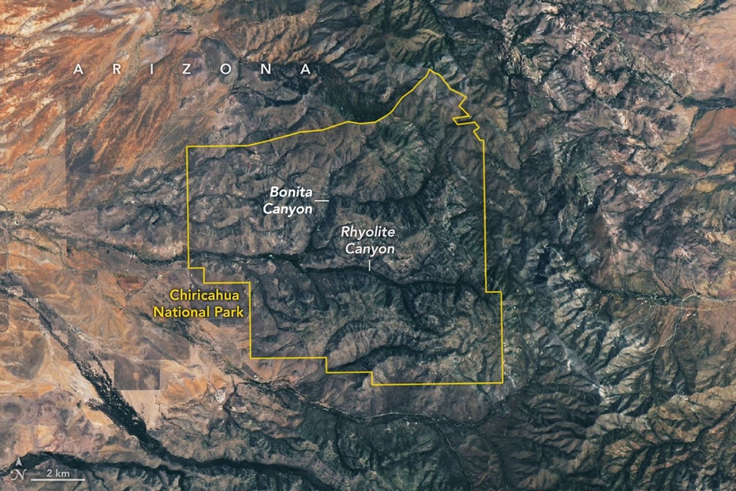
Chiricahua National Park features unique volcanic rock formations created by ancient eruptions. This diverse area serves as a haven for many plant species.
A massive volcano erupted 27 million years ago in southeastern Arizona. It released far more volcanic material than the famous Mount St. Helens eruption. This event covered the land with thick layers of ash and pumice.
Then, the ground collapsed as the magma chamber emptied. This created a huge depression known as the Turkey Creek caldera. The hole measured 12 miles wide and nearly 5,000 feet deep.
Next, natural weathering and erosion shaped the landscape over millions of years. These forces carved the tuff into the dramatic spires people see today. The Apache people aptly named this place the Land of the Standing-Up Rocks.
Also, visitors can explore a maze of tall rock pinnacles. Some famous formations include Big Balanced Rock and the clusters at Massai Point. These structures showcase the unique power of volcanic geology.
However, the government wanted to protect this special site. They named it a national monument in 1924. Officials later redesignated the area as Chiricahua National Park in 2026.
Meanwhile, satellite images show the gray rhyolite landscape clearly. Stream valleys wind through the park, filled with many trees and plants. The area supports a wide variety of life.
As a result, four different regions meet within the park boundaries. These include two deserts, the Rocky Mountains, and the Sierra Madre. This makes the park a hotspot for plant diversity.
Finally, the park sits among unique mountain ranges called sky islands. These mountains rise high above the surrounding desert floor. The area remains a beautiful and protected treasure for all to enjoy.